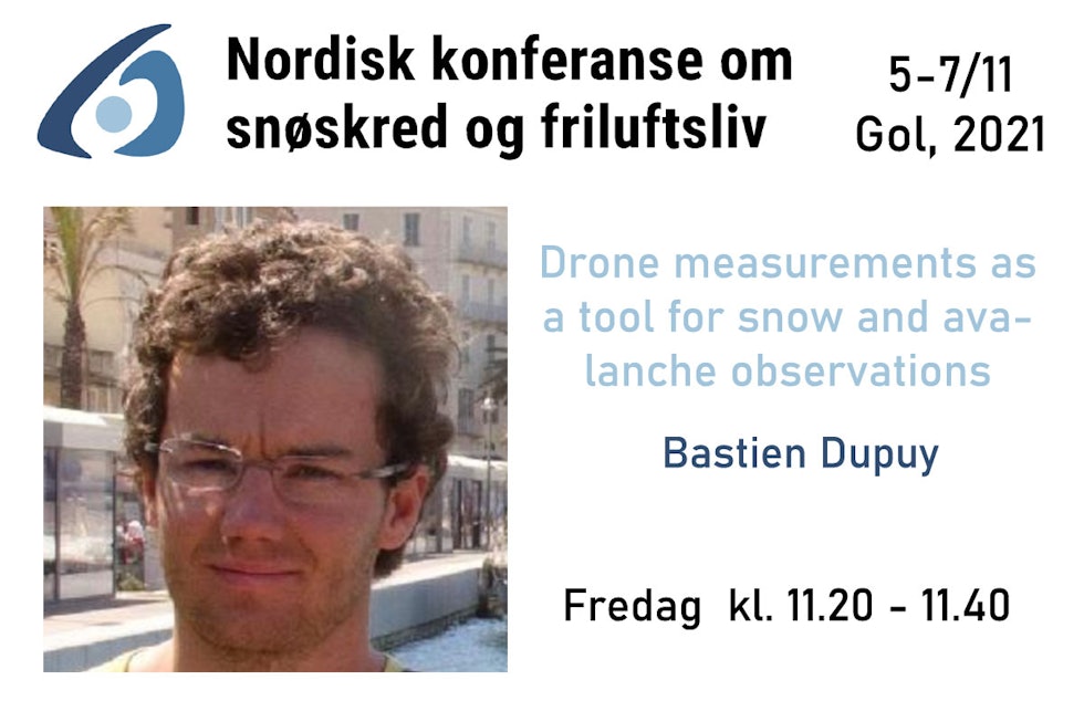
We present an on-going project, called GeoDrones, aiming at developing flexible drone platforms, able to carry different types of sensors.
These sensors can record repeatable data, gathering high-resolution information about the surface and the subsurface of the snow.
We will present first results and on-going work including examples of field surveys where photogrammetry data are recorded on a mountain slopes and ground penetrating radar are tested to characterize layering in the snowpack.
Om foredragsholdere / opphavsfolk
Bastien Dupuy is research scientist at SINTEF Industri, in the Applied Geoscience group. Geoscientist, he has been working for more than 10 years with geophysics and more recently his research is focusing on natural hazards and especially snow avalanches. He is leading GeoDrones project (SINTEF initiative) and is work package leader in GEOSFAIR project (partners with Statens Vegvesen and NGI).